- Distance – 6.19 miles / 9.95 kilometers
- Elevation Gain – 246 feet / 75 meters
- Elevation Loss – 138 feet / 42 meters
- Average Temperature – 85.3° F / 29.6° C
- Total Mileage – 72.24 miles / 116.234 kilometers
We started out early, I parked my car at the Sahuarita Road Trailhead, jumped into Lova’s truck and drove to the Gabe Zimmerman Trailhead.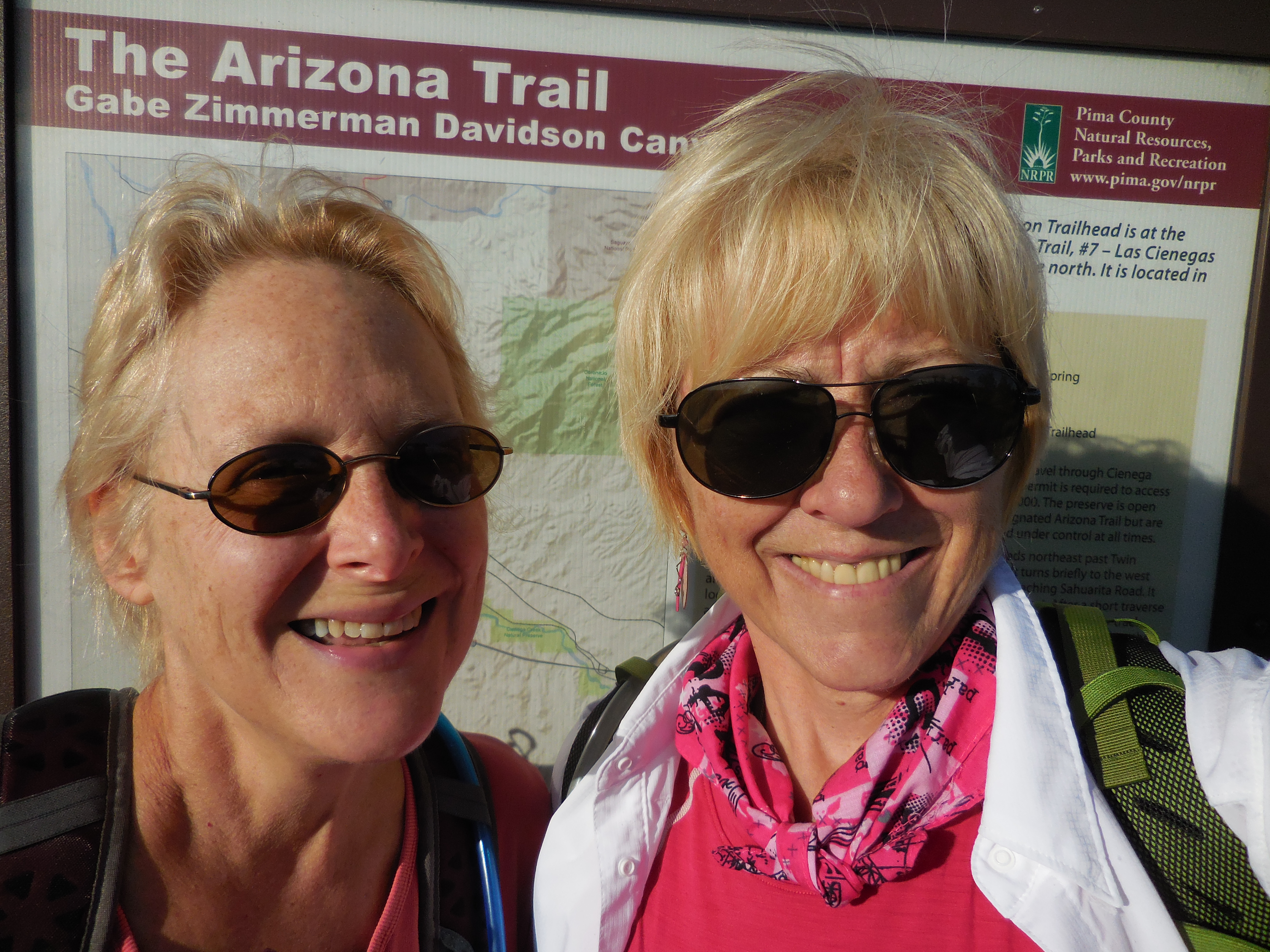
 We were determined to find where the trail would meet the wash and to finally see the cairn which should now be on our left as we enter the wash.
We hiked through a stretch of relatively flat, boring scenery. 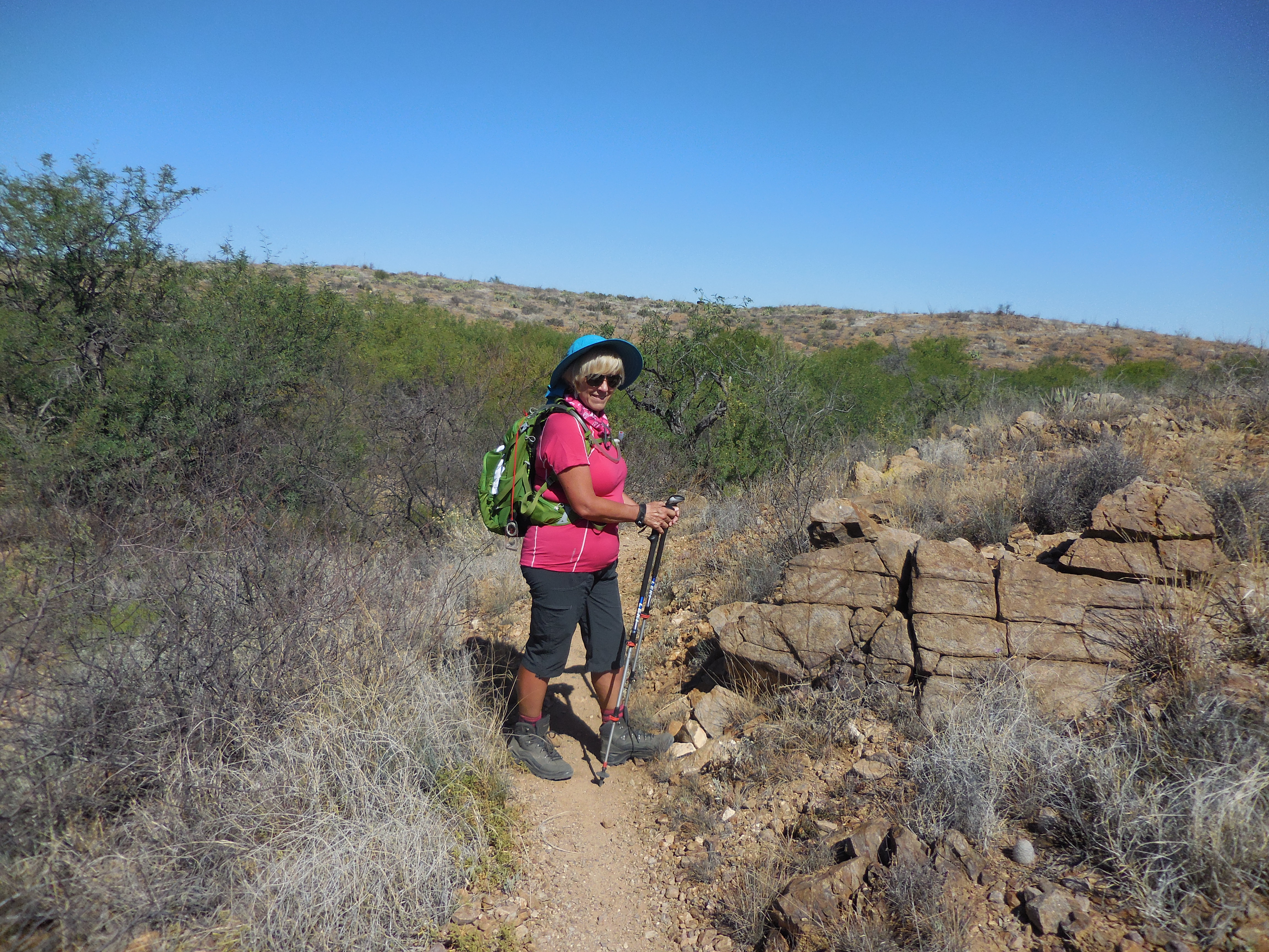
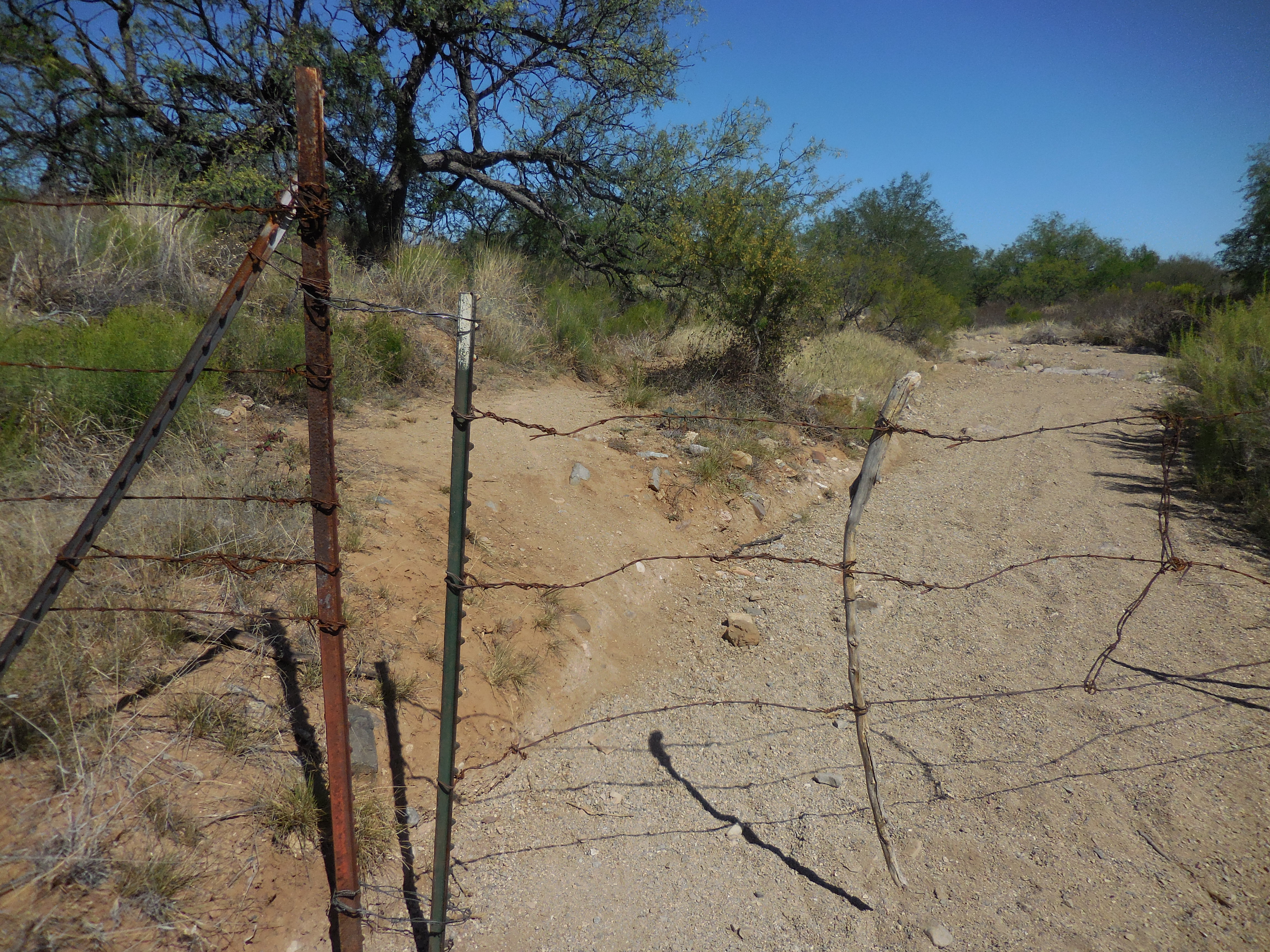
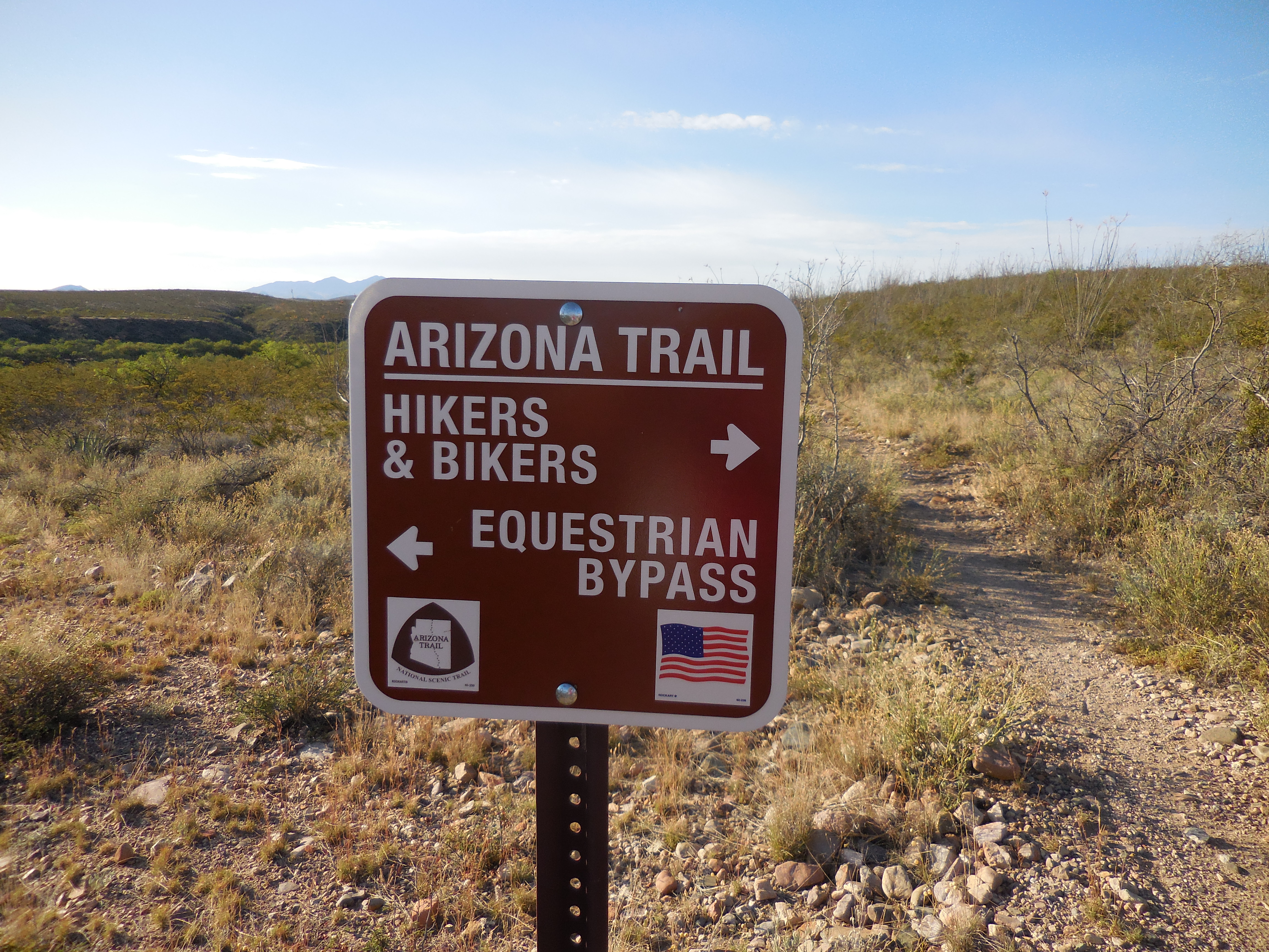
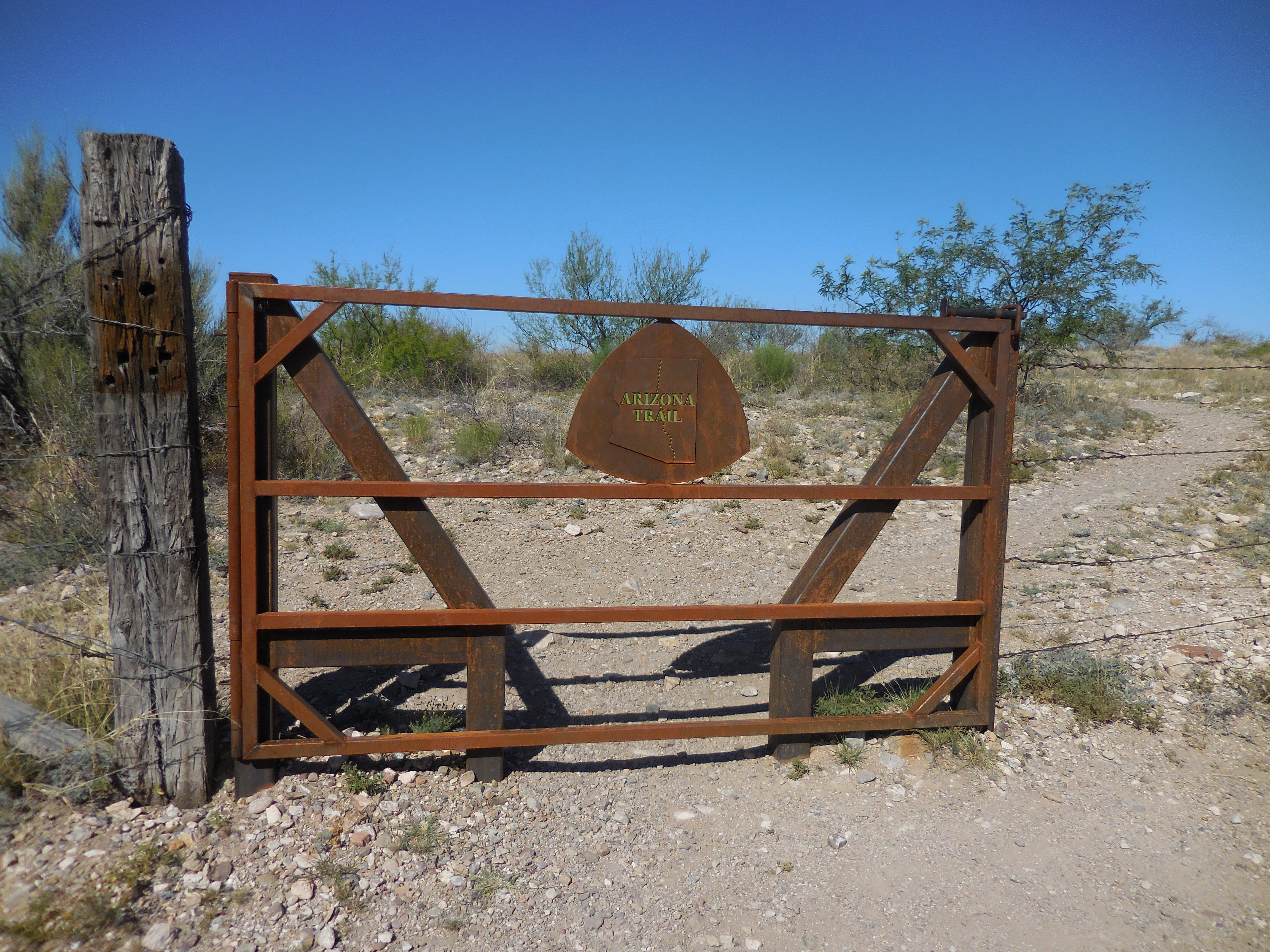
Nothing much to see or capture with pictures with the exception of several gates. I am fascinated by the gates of the Arizona Trail, each one seems to be different from the others.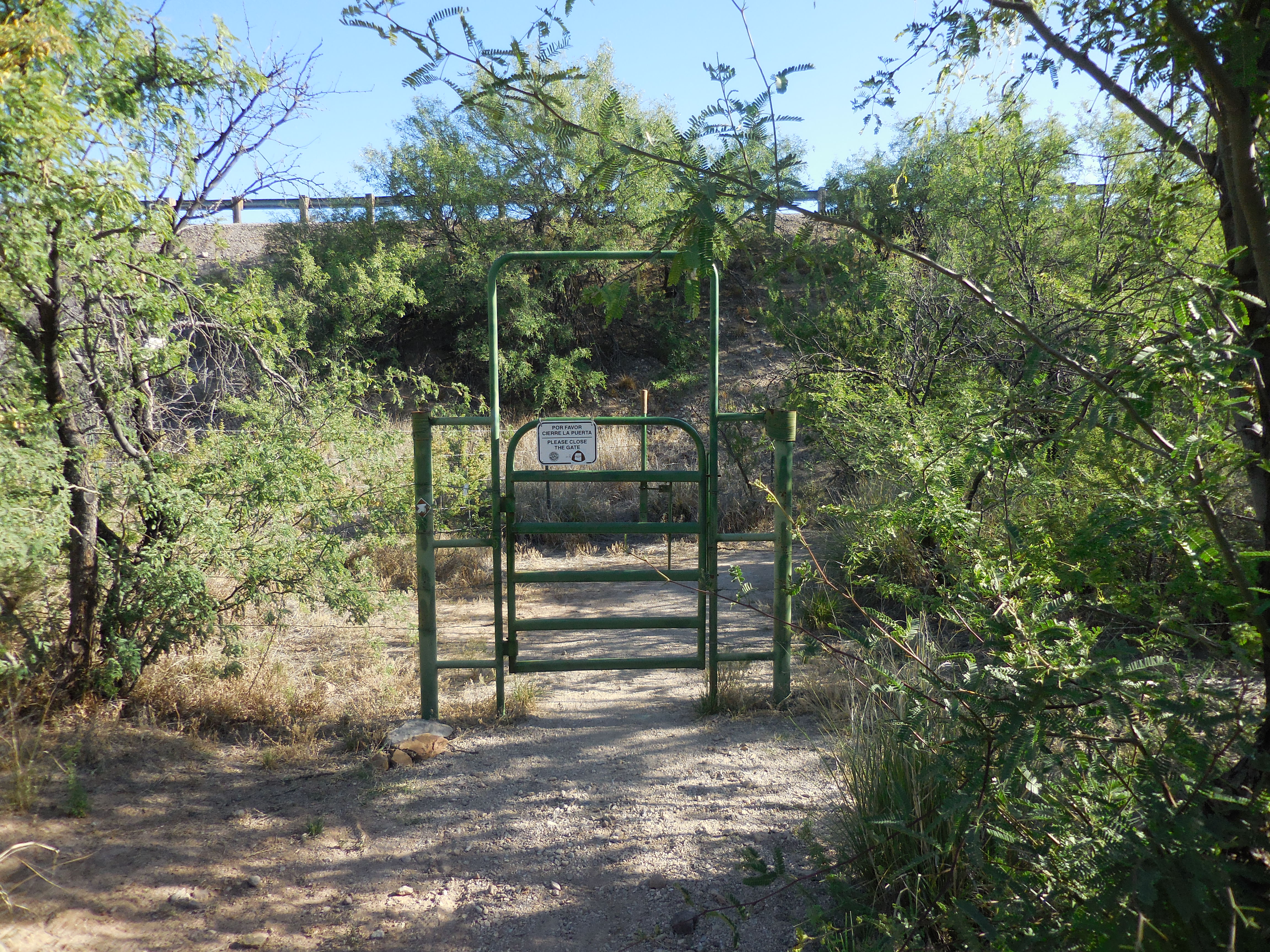
We hiked through a tunnel that went underneath Interstate Highway #10.
We crossed over what we thought to be Old Sonoita Highway and continued to walk through flat desert landscape.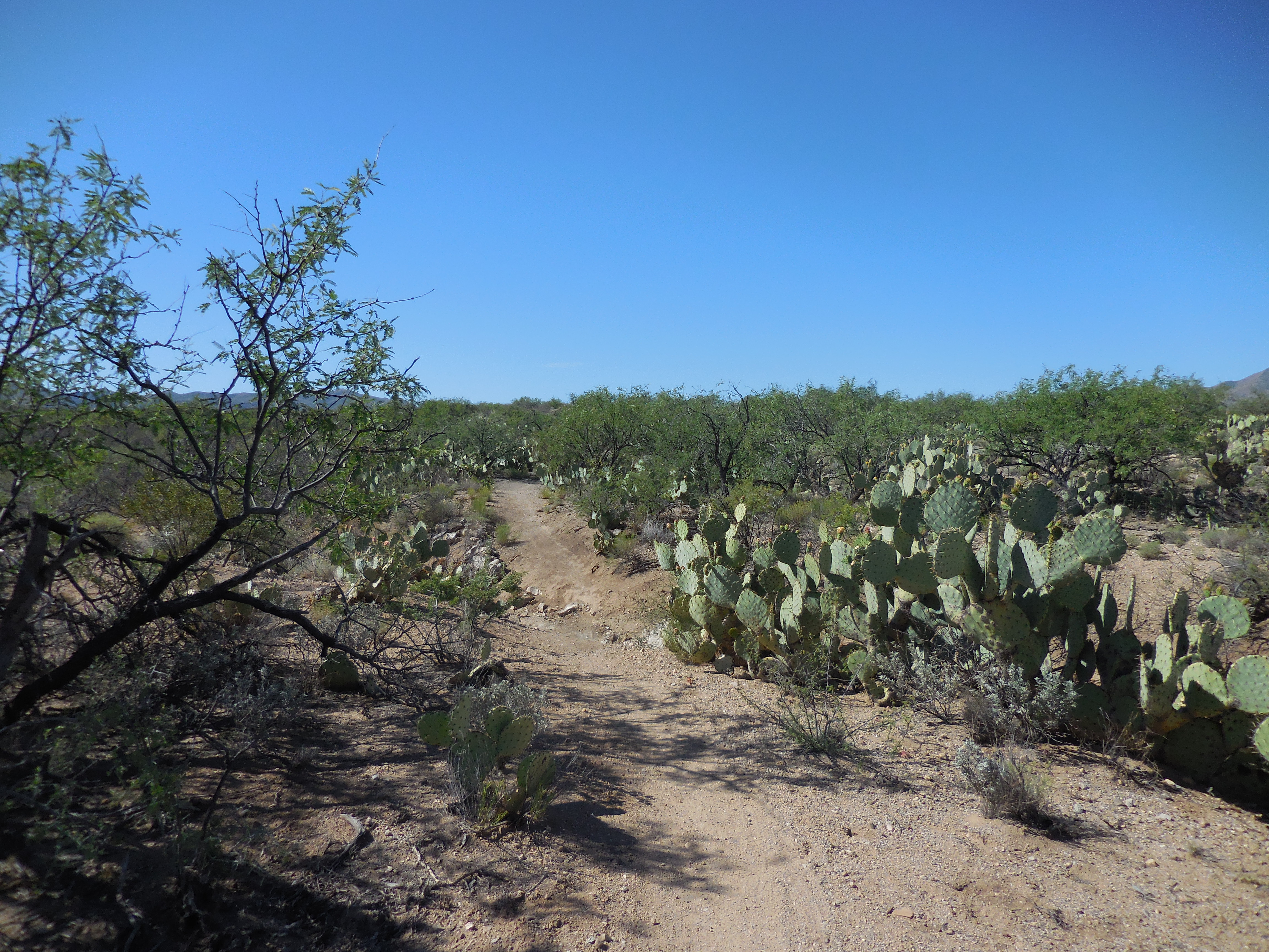
Suddenly we emerged in the wash.
We emerged into the wash, yes the very same wash we walked up and down looking for the trail on the right the week before. A trail we would never find simply because walking from the culvert last week we never thought to take the trail to the left, the guidebook had said very clearly to “look for the cairn marking the exit from the wash off to the right”. This trail was on the left side of the wash coming from the culvert not the right side.
We retraced our steps of last week passing through a very rustic gate and back to my car. We were disappointed because this part of the AZT was so short; if the guidebook had been correct in its directions, we would have easily completed Passage 7 last week.