
- Distance – 12.67 miles / 20.39 kilometers
- Elevation Gain – 1335 feet / 407 meters
- Elevation Loss – 1260 feet / 384 meters
- Average Temperature – 78.1° F / 25.6° C
- Total Mileage – 174.72 miles / 292.19 kilometers
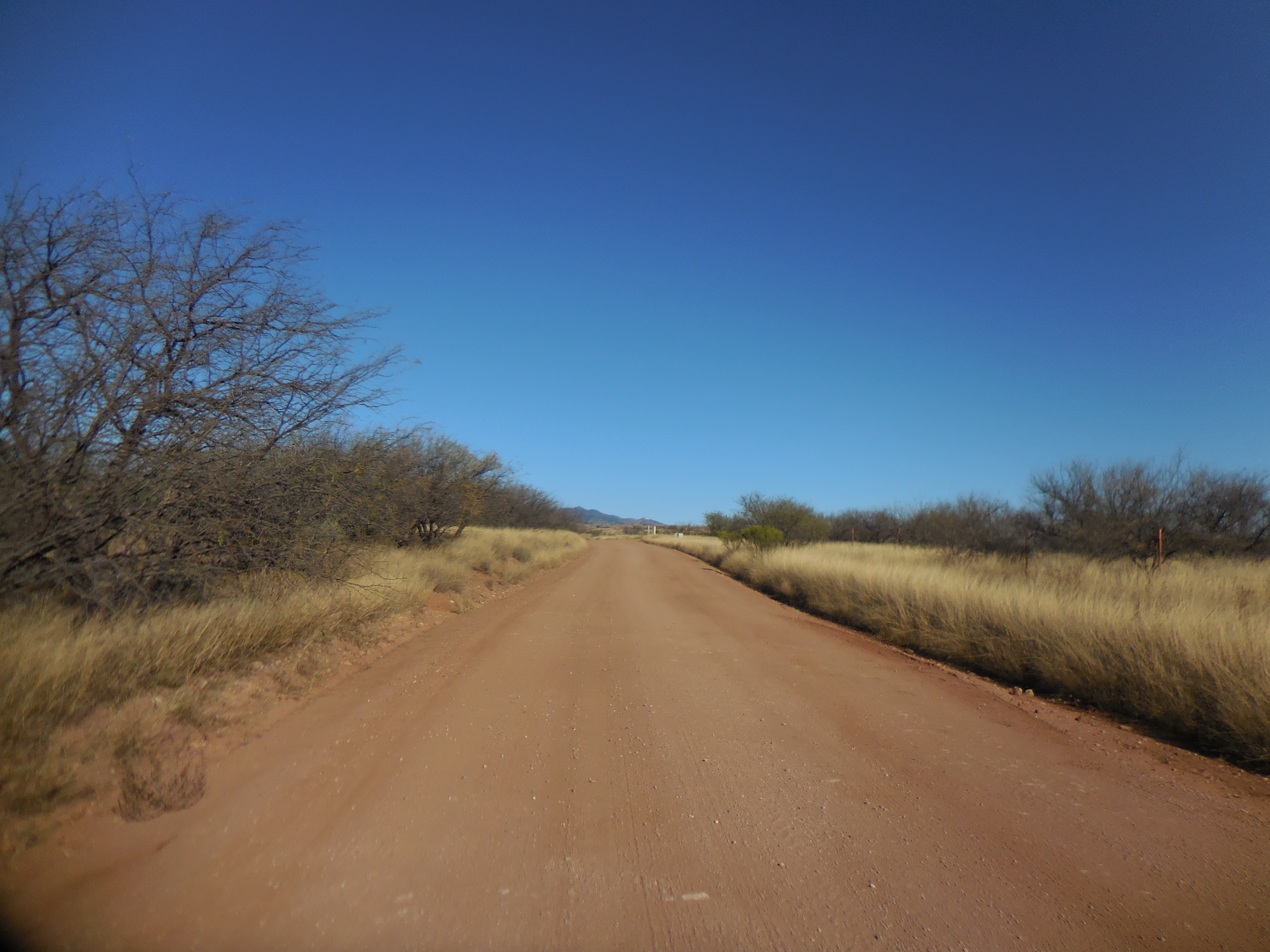
I suppose the reason it has taken me so long to post this section of the AZT is because it was not a fun hike. It was entirely on Forest Road and somewhat uninteresting. Scree Slider and I started out from my house at 7:30 in the morning and drove an hour and a half to the little town of Patagonia. Passage 4 leads us through town and onto a dirt road that goes on and on to the trailhead. But since it is technically part of the AZT we felt the need to walk it.
It was quite cold when we started out but did warm up quickly. The first 3/4 of the road was on an incline, but nothing terrible. The vistas at points were very nice, but we were walking on a well-packed, well-maintained dirt road.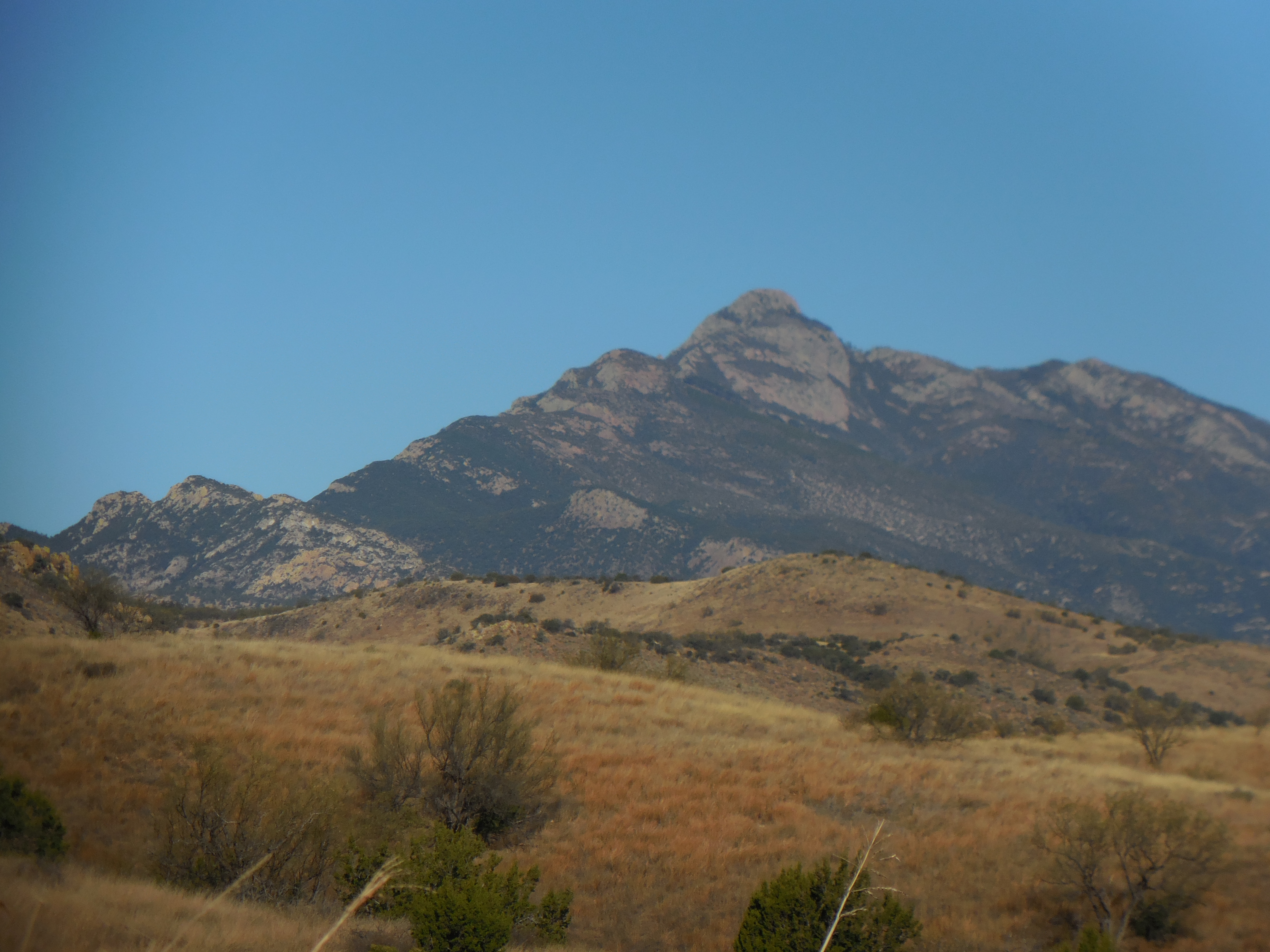
 We entertained ourselves with chatter and taking pictures of the signposts alongside the road.
 Notice the bullet holes! Remember Arizona is the Wild West!!
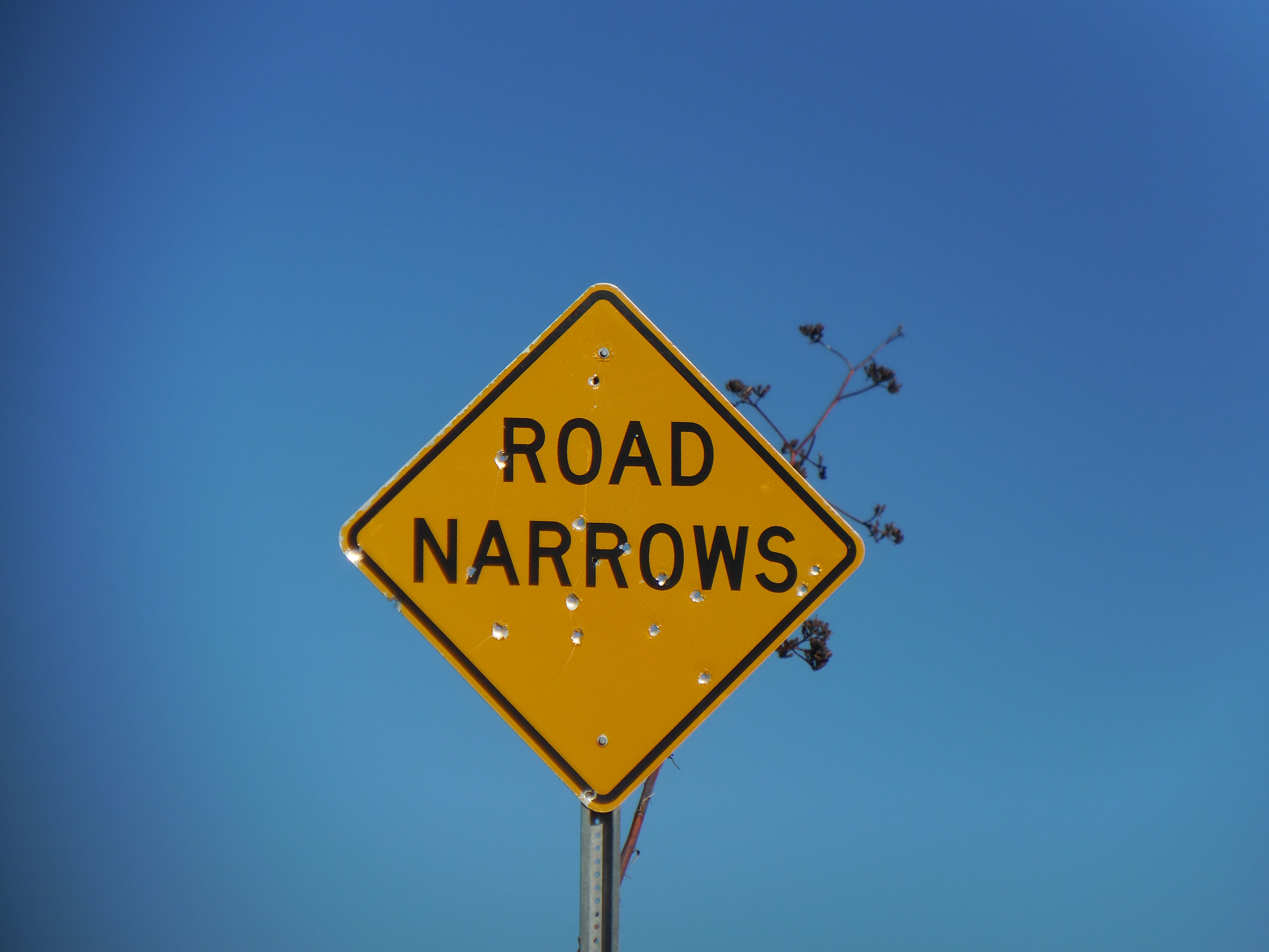 Finally we arrived at the Temporal Gulch trailhead, only to sit for a moment before turning around to go back to the car.
 We finished the walk back to the car, which seemed to go quicker than the first half of the walk and were sitting in Saguaro Corners in time to have lunch.
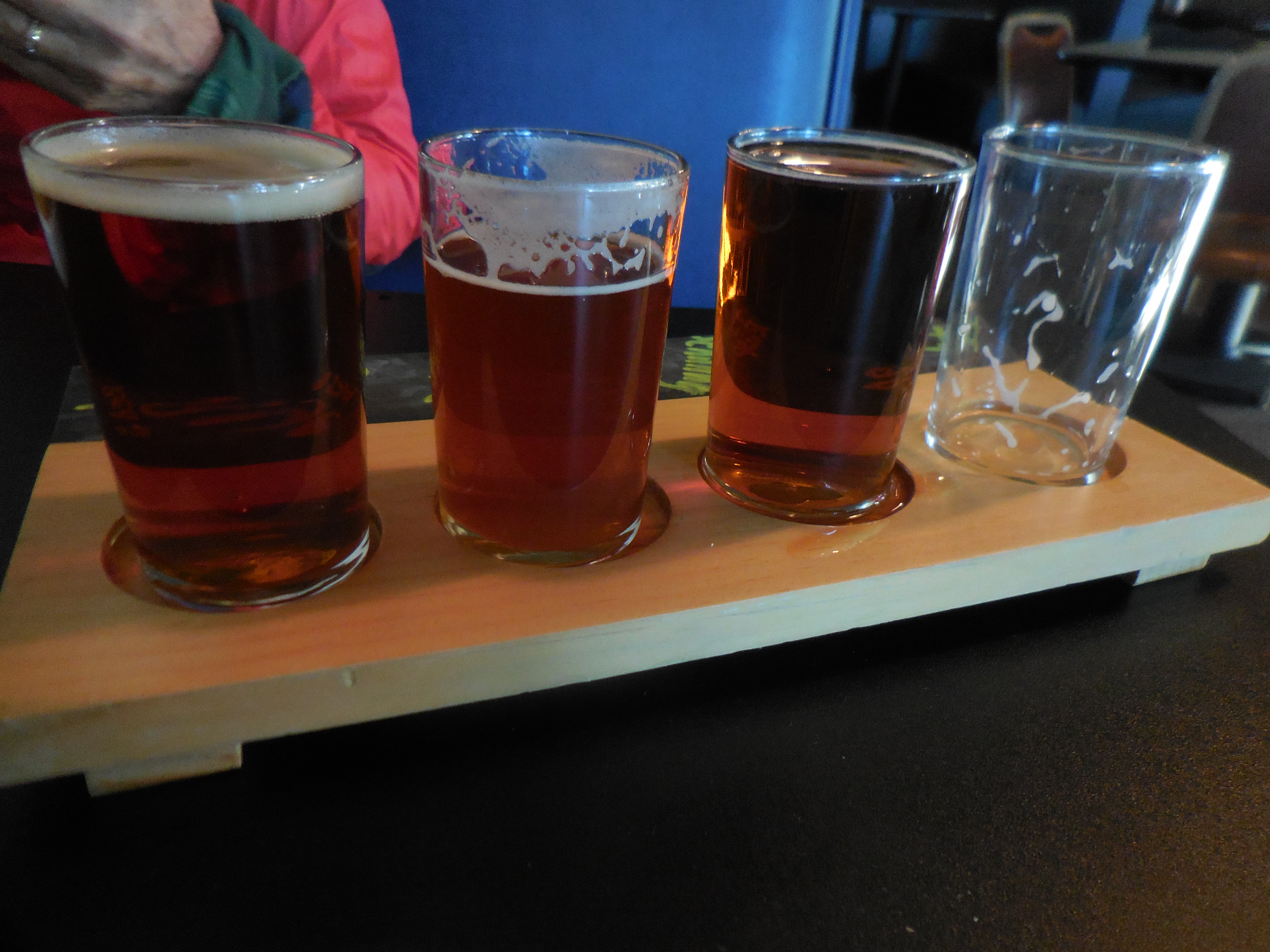


that food was SO good…the walk although somewhat mundane was still an achievement!
LikeLike
An absolute achievement!
LikeLike
Dear Arlene, I just finished Bill Bryson’s ‘A walk in the woods’ … you need to get your book out there!!!! 🙂
LikeLike
Britta,
I have been working on my memoirs for over a year now. But how did you know?
It will be a book about my life and as we know the Camino is a big part of my life but what everybody doesn’t know is that the Camino is not the entire story. The book is a story of me figuring out who I am and the long, long winding road I’ve walked to get to this point.
Yikes, I’ve probably said too much already!
Arlène
LikeLike
Looks like a fun day.
LikeLike