
- Distance – 3.94 miles / 6.35 kilometers
- Elevation Gain – 892 feet / 272 meters
- Elevation Loss – 879 feet / 268 meters
- Average Temperature – 86° F / 30° C
- Total Mileage – 157.05 miles / 263.75 kilometers
Being lazy and not wishing to awaken to an alarm clock before sunrise, I suggested we simply drive down to Passage 1 and walk to the border and back to the parking lot.
Passage 1 is a total of 21.7 miles / 34.92 kilometers and since the WWW does not wish to camp out on the trail, we knock off small chunks of the long passages to bring the distances we must complete in one day to a manageable level.
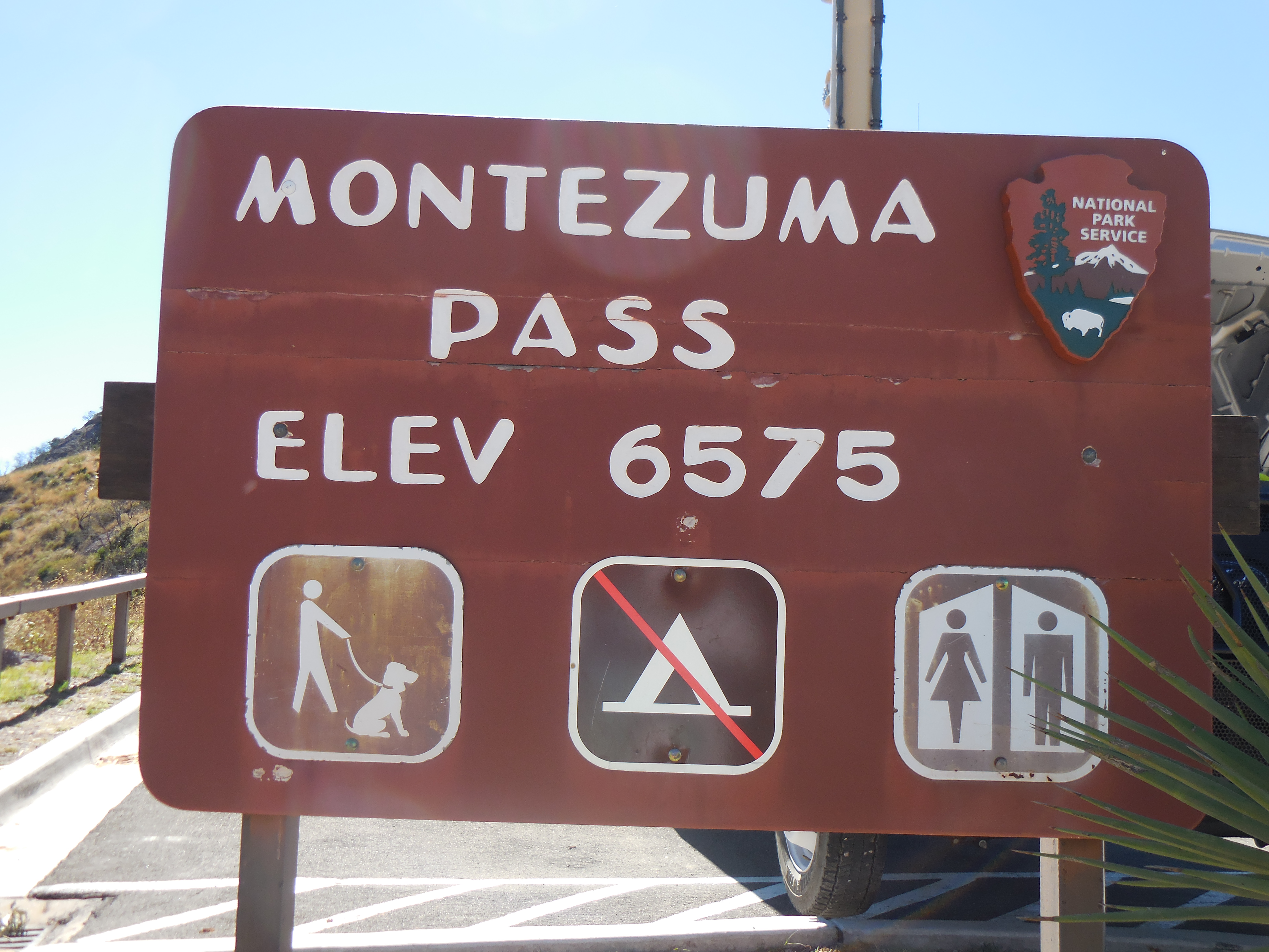
We calculated the driving time to get to Passage 1 to be approximately 1.5 to 2 hours. Boy were we off, I think it took us over 3 hours to get to the trailhead. We had to drive on rough Forest Roads for what seemed like hundreds of miles. We did stop at Parker Canyon Lake on the way to the trailhead though.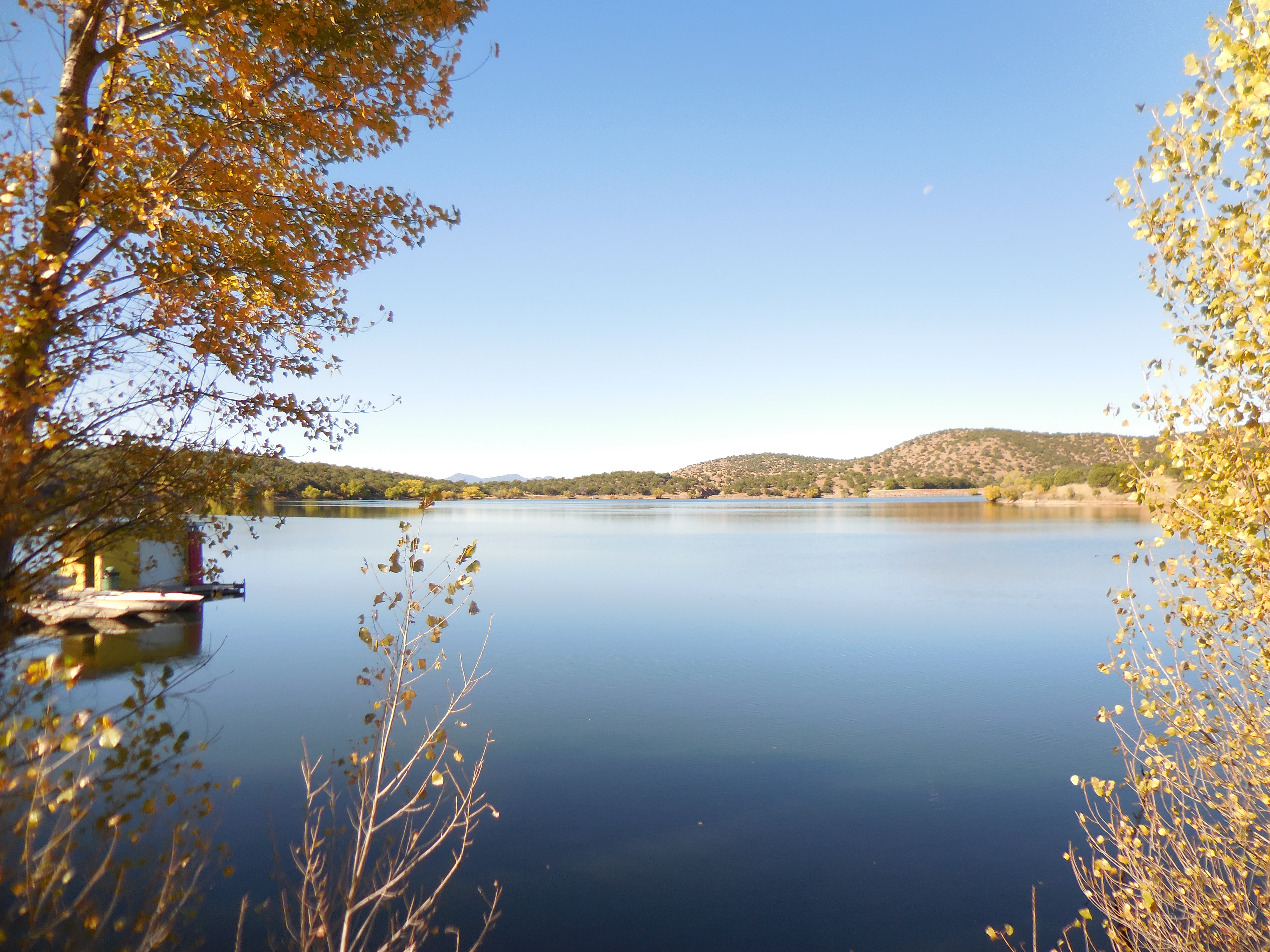 After we walked around the lake for a while, we got back into the truck to head to Montezuma Pass. After another long drive on more Forest Road, we finally arrived at the trailhead.
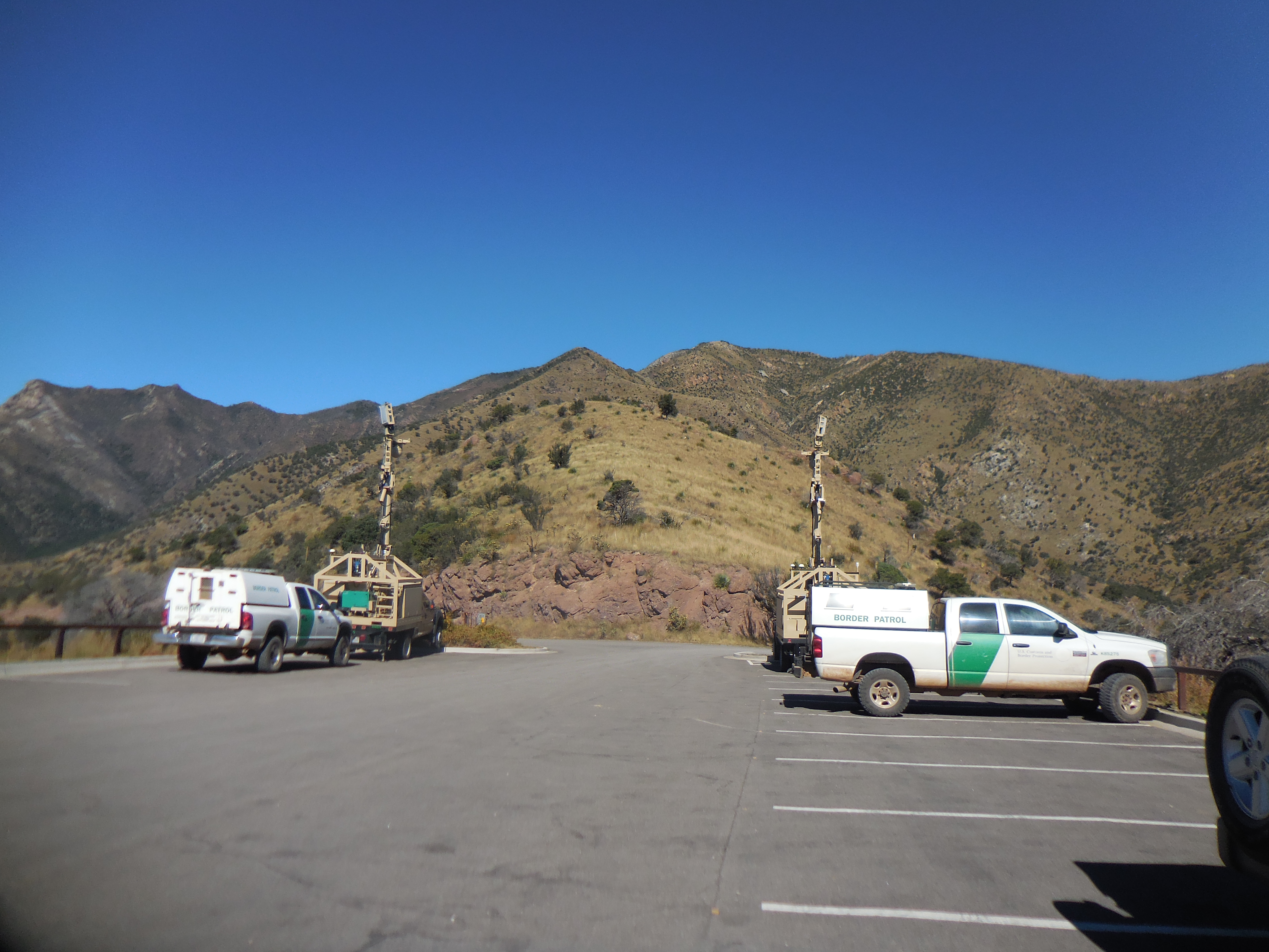
 Notice the Border Patrol and the tracking devices set up at the trailhead. Being only 2 miles from the United States-Mexican Border it is quite evident the United States takes illegal entry into our Country very seriously.
 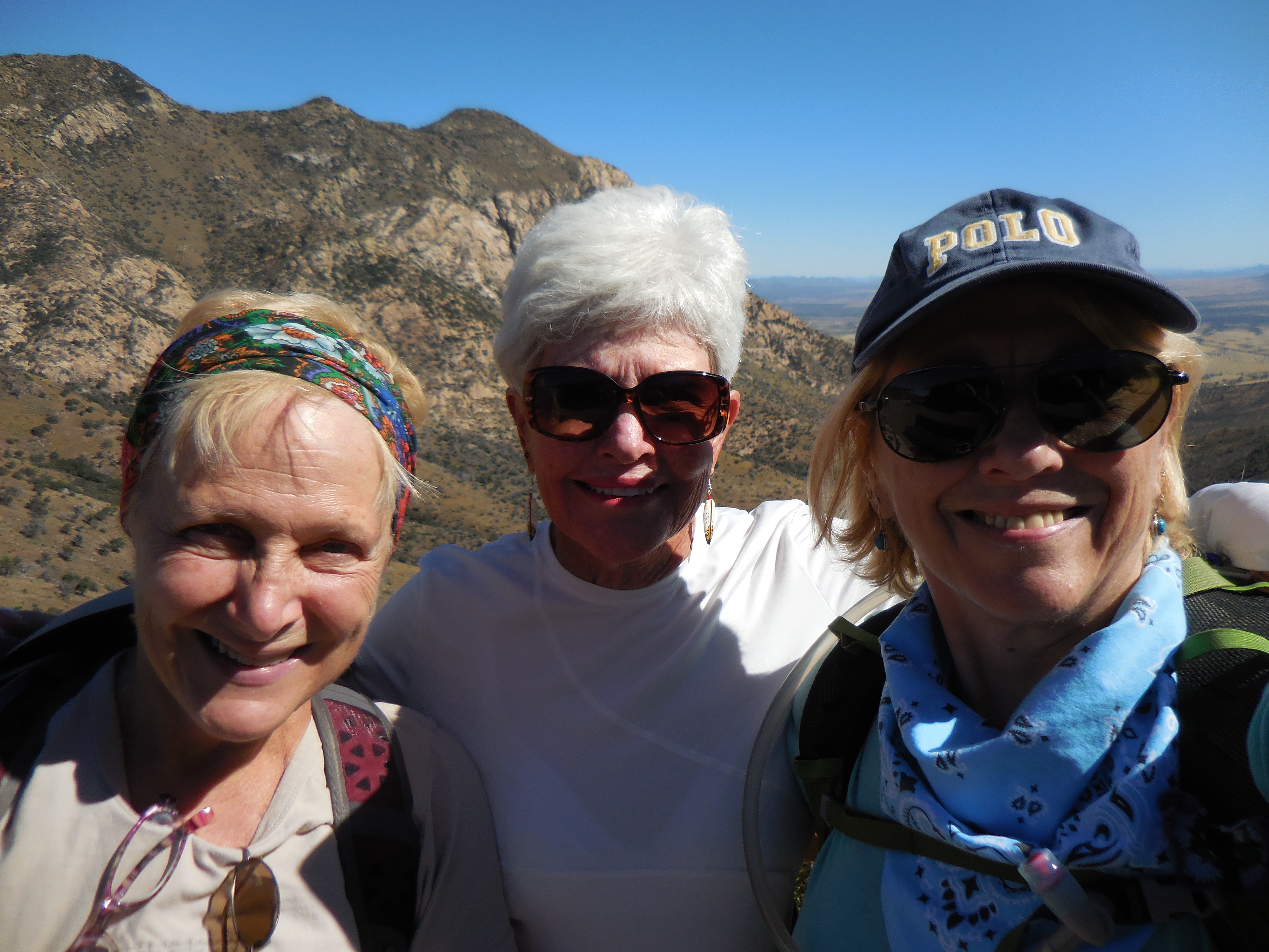 Upon entering the trail, we came upon this Warning Sign.
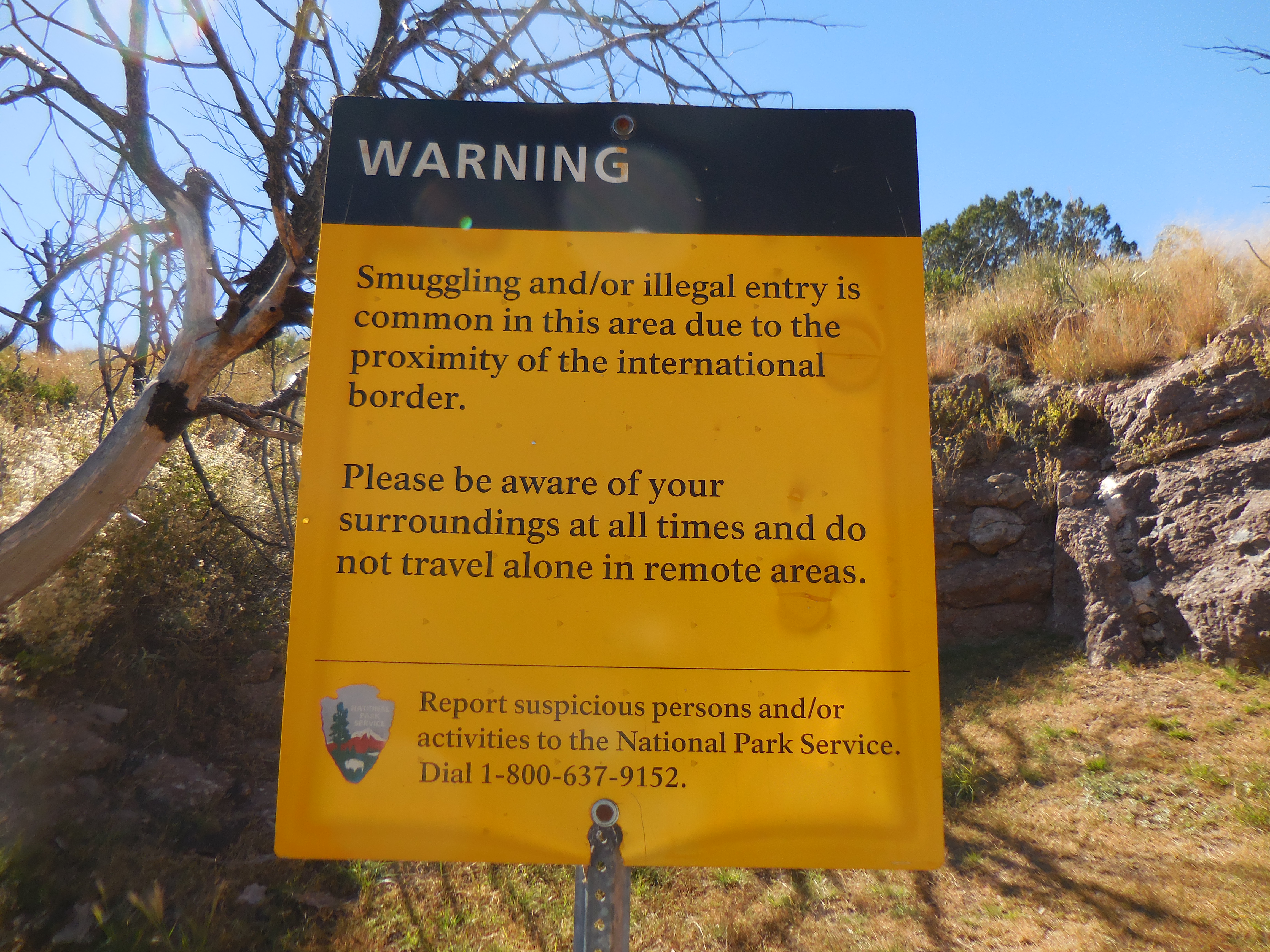 We hiked down the trail, at about 1 mile in, we passed 2 Border Patrol Officers who chatted with us for a while. Gale Force is terrified of snakes (as am I), we asked about snakes and they assured us they had not seen any that day. They told us of an AZT through hiker who was ahead of us completing his SOBO hike. Shortly afterwards, we congratulated the through hiker on his accomplishment and snapped a picture of him.
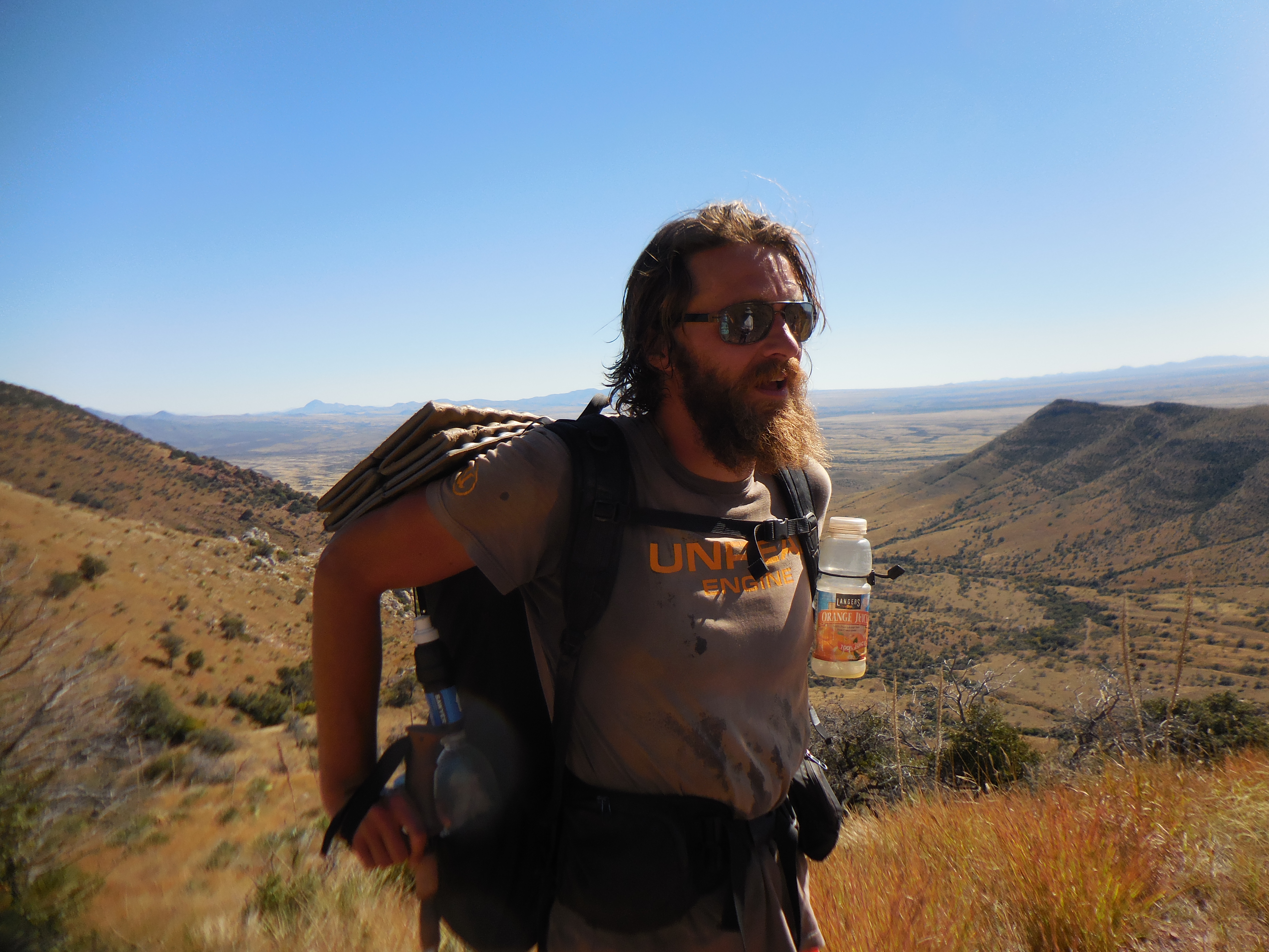 In 1540 Francisco Vásquez de Coronado led a huge expedition of around 1,200 Spanish and native allies from Compostela, Mexico, north through Sonora and southeast Arizona looking for gold. We stood overlooking where the expedition would have explored and visualizing the expedition as it worked its way northward. The views were unbelievable!
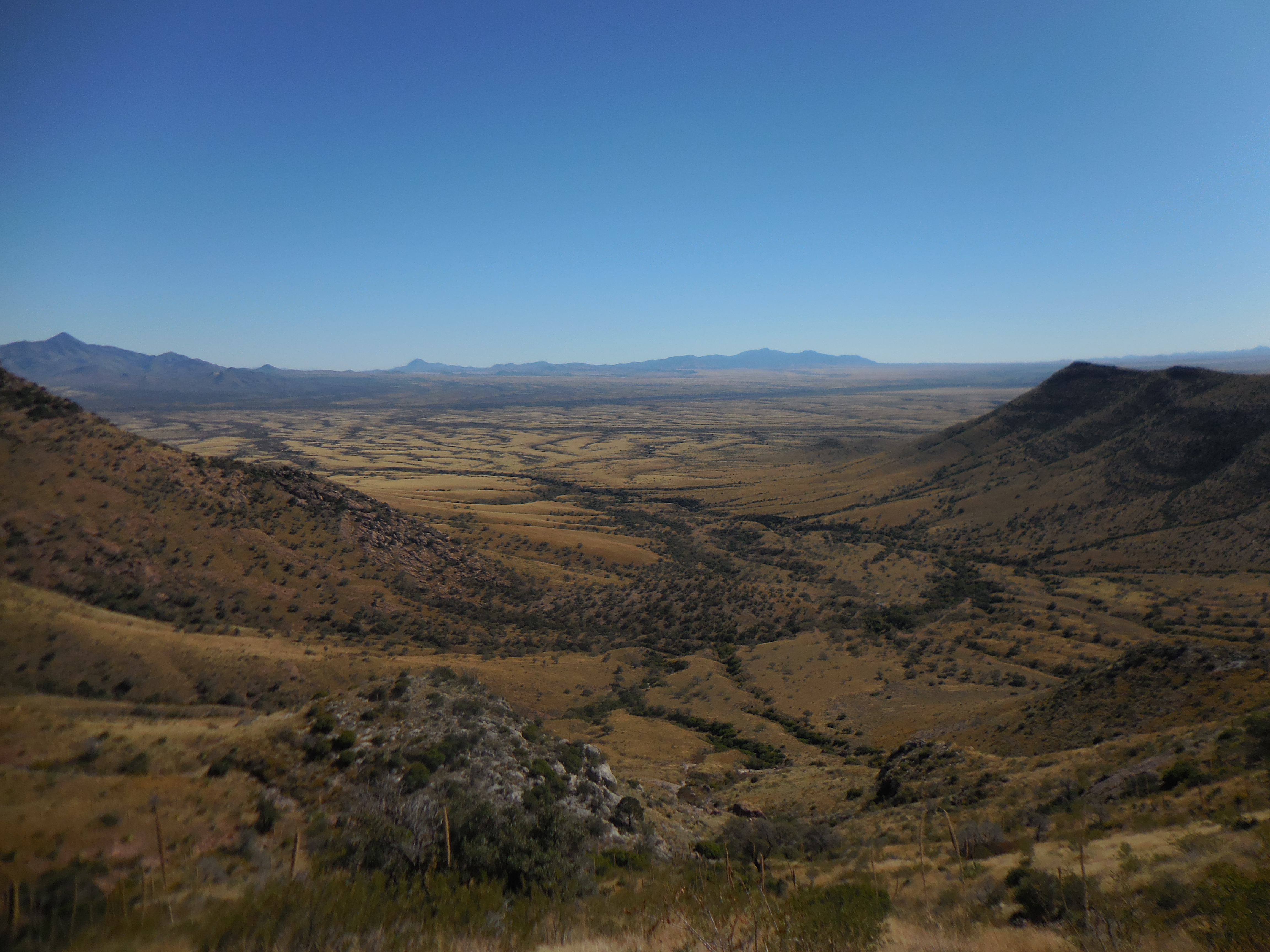
 We continued hiking downward. I knew all along that the steep descent meant a steep incline on the climb back out – have I ever mentioned how much I detest climbing? Of course, as you all now, I manage them, but that doesn’t mean I traverse the climbs with joy or exuberance although I will say when I have completed the ascent, I feel pretty darn good and proud of myself.
And then there it was, the obelisk marking the beginning of the AZT and the border of the United States and Mexico.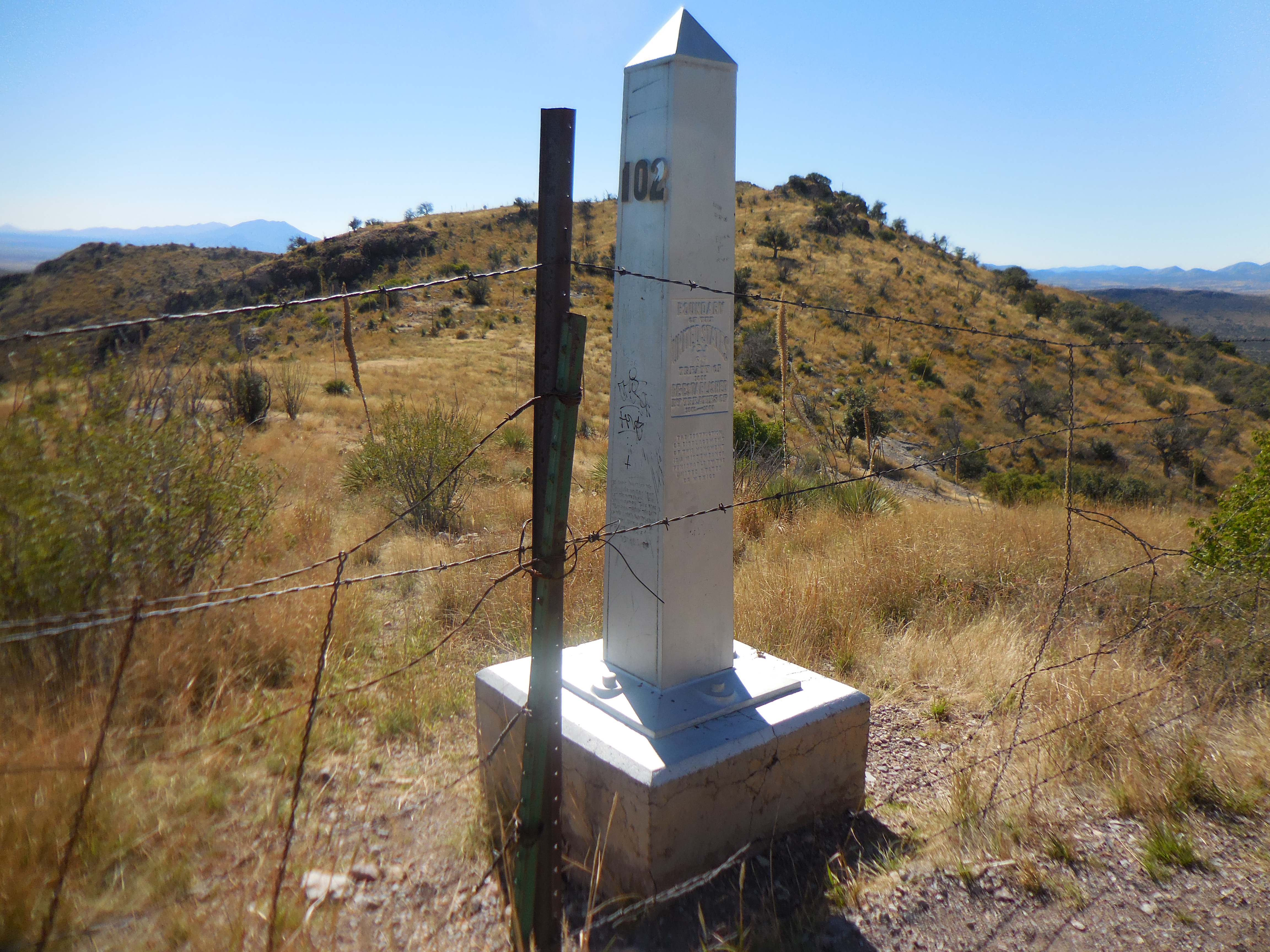 Even though we were warned not to cross the barbed wire into Mexico, I rationalized that as long as we stayed on the US side of the marker, we were still on US land, so it was perfectly fine.
Funnily we could see a path to the obelisk from the Mexican side that looked well-traveled and the barbed wire was cut thereby making it easy to pass through, the warning at the beginning of the trail most certainly was not unwarranted.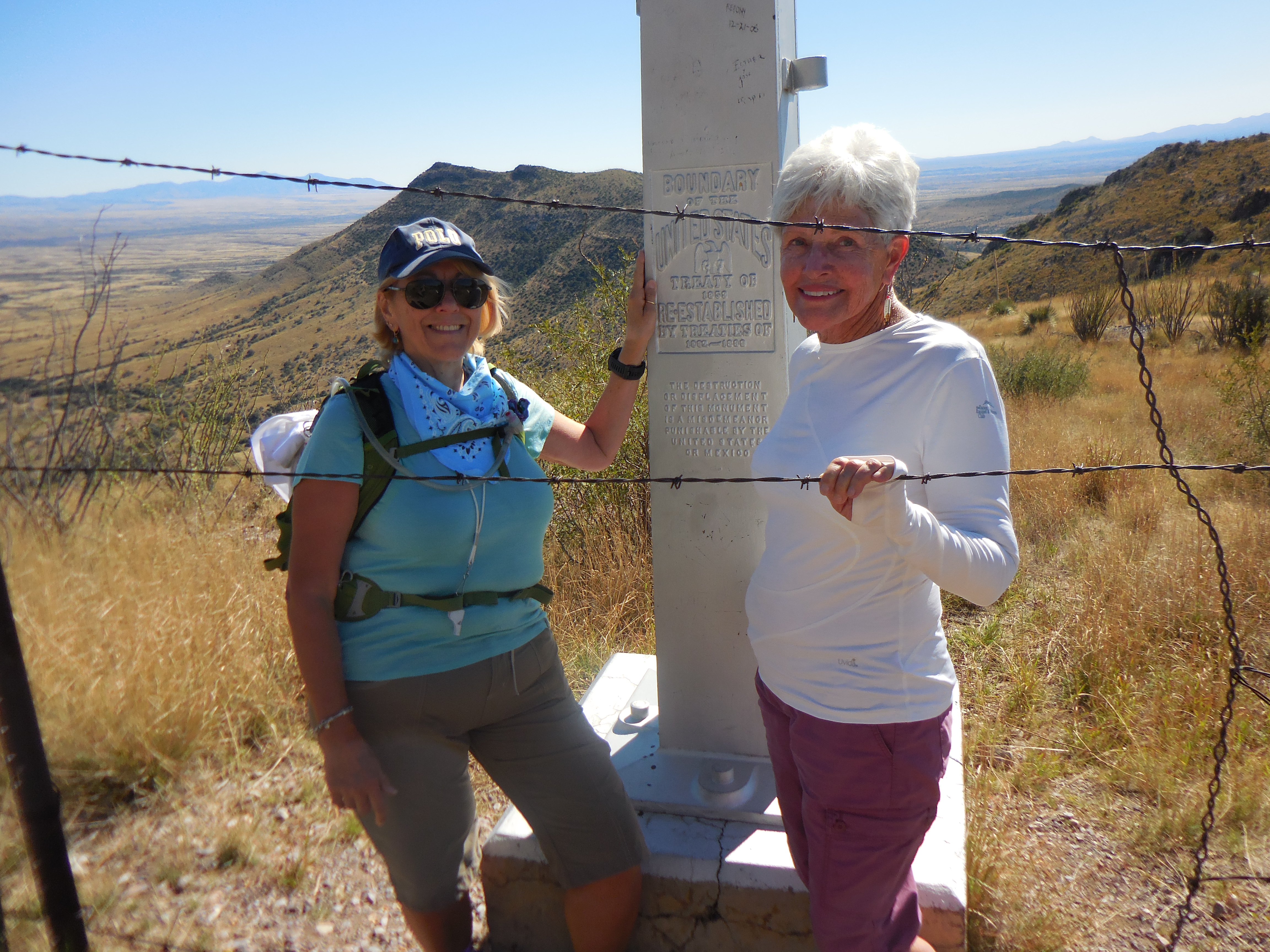
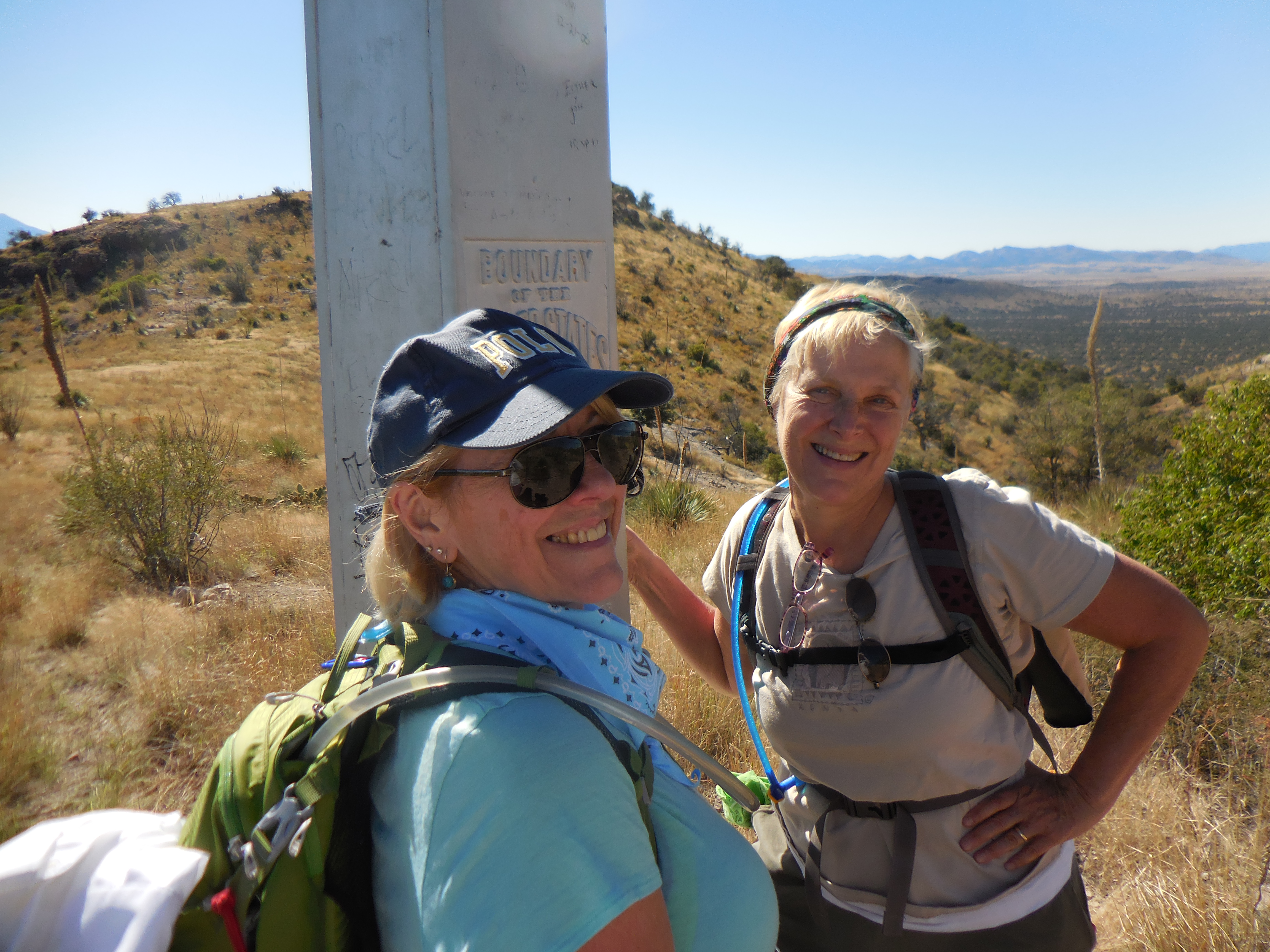 So we had made it, we touched the obelisk and have now recorded it in our AZT log book. Yes we are keeping a book of the passages we have hiked along with the dates and who of the WWW has been on that hike. Now for the climb back to the trailhead.
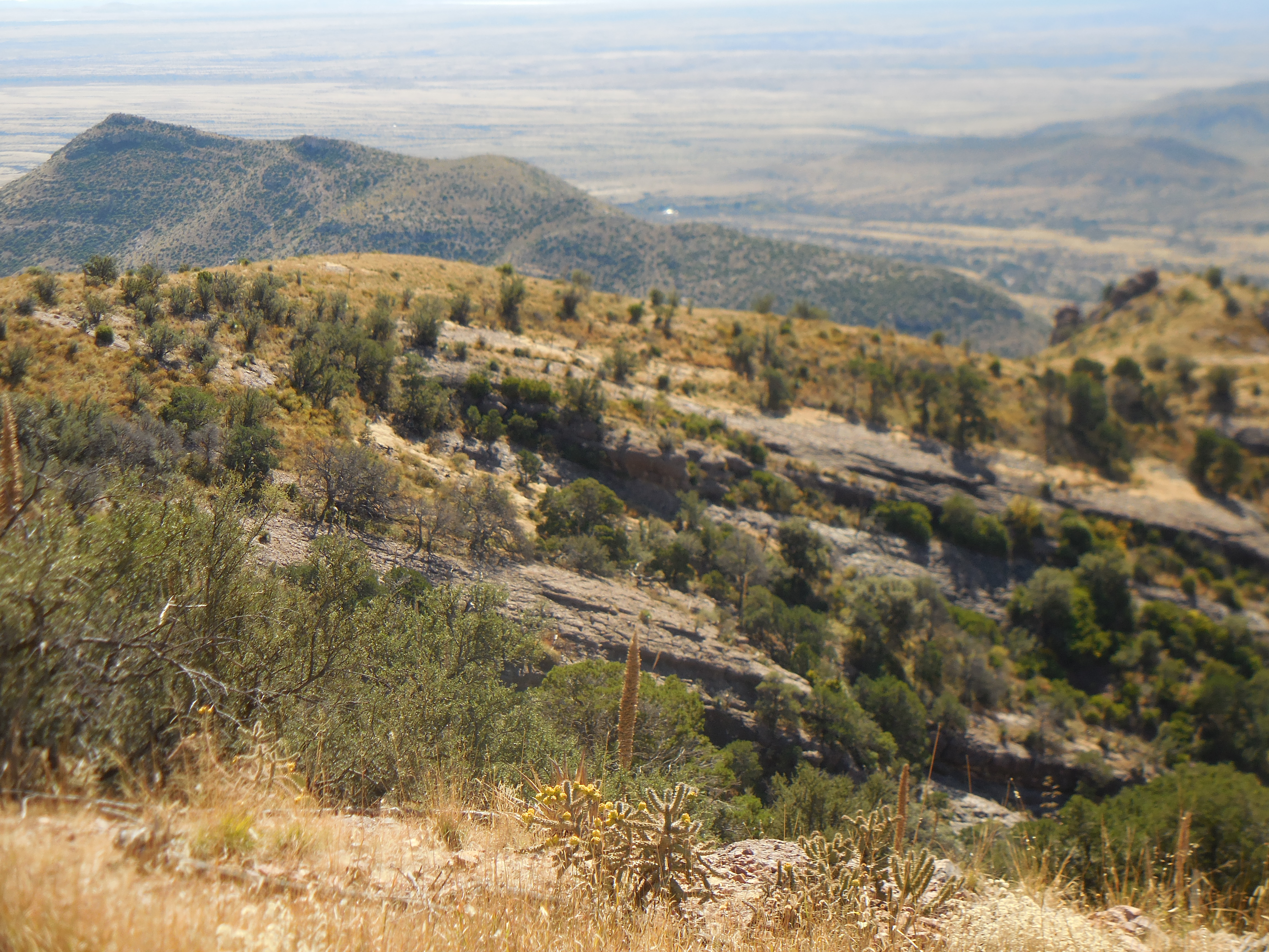
Look at the fence on the border as far as the eye can see. It is simple barbed wire, not the construction we are so accustomed to seeing on the news casts.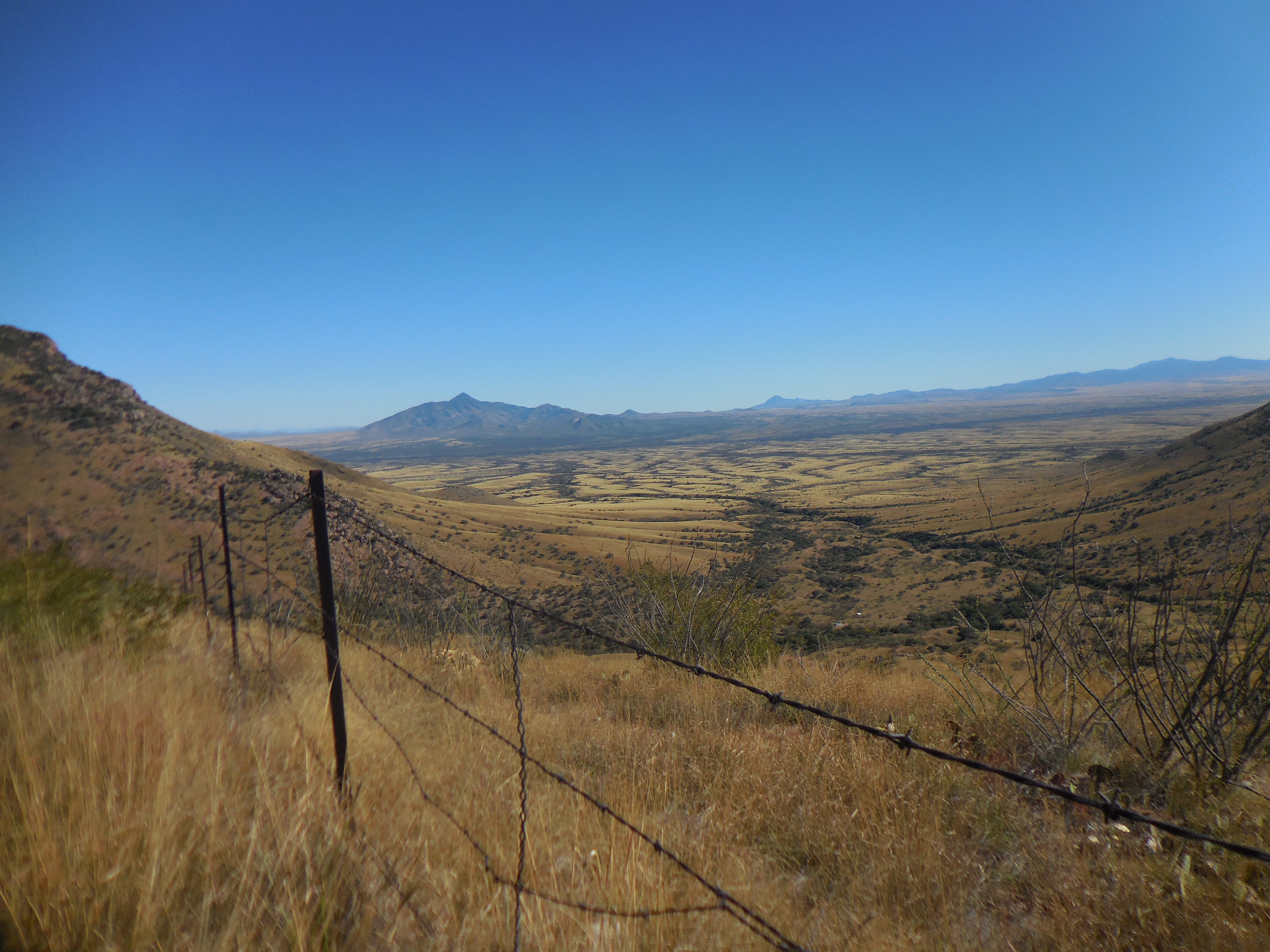 We climbed back to the trailhead enjoying the views and taking pictures when we needed to catch our breath. I am always amazed when I see lava rock here in the desert.
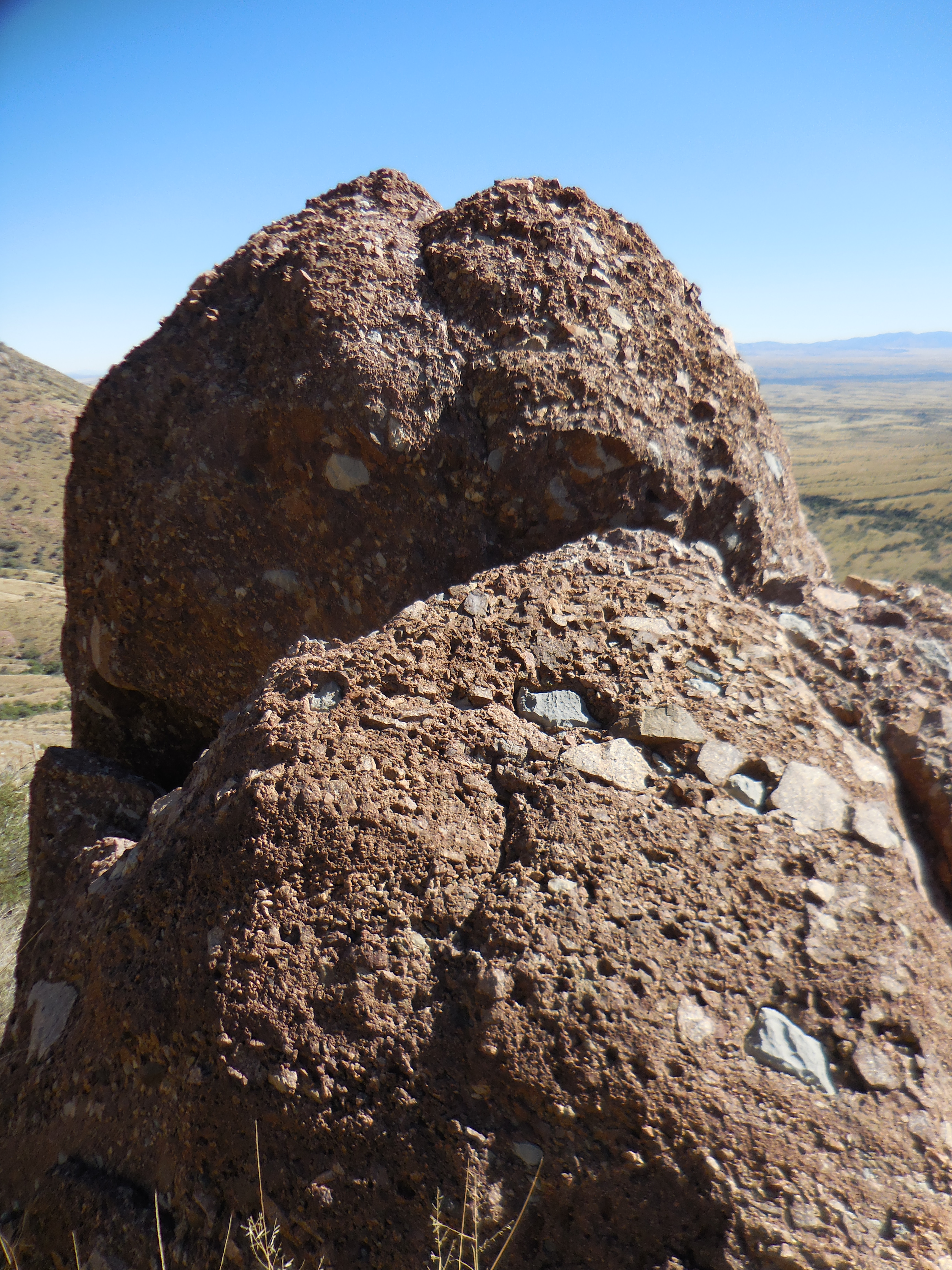 Finally we made it back to the trailhead and we stopped to chat with three other through hikers who were resting before they went down to the border to complete their SOBO through hike.
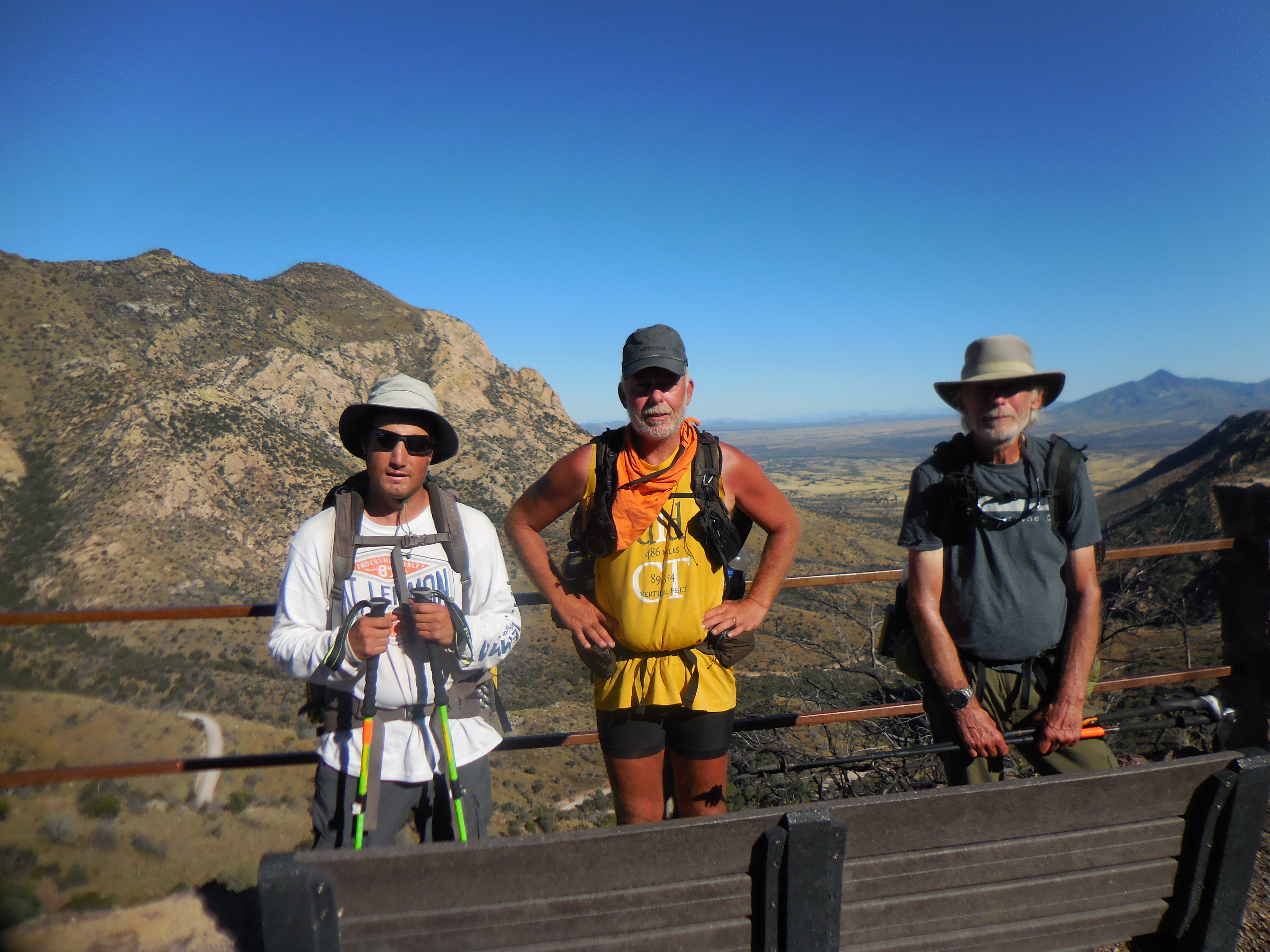 We asked about water and naturally snakes they encountered while on the trail. They told us they thought some of the Passages were absolutely breathtaking around Roosevelt Lake and the part of Passage 1 we have yet to hike.
We got into Lova’s car and headed down the other side of the mountain because we were told the road was dirt for only a few miles. In fact it only took us 12 minutes to get to paved road. However, it also took us way far east of where we had to return.
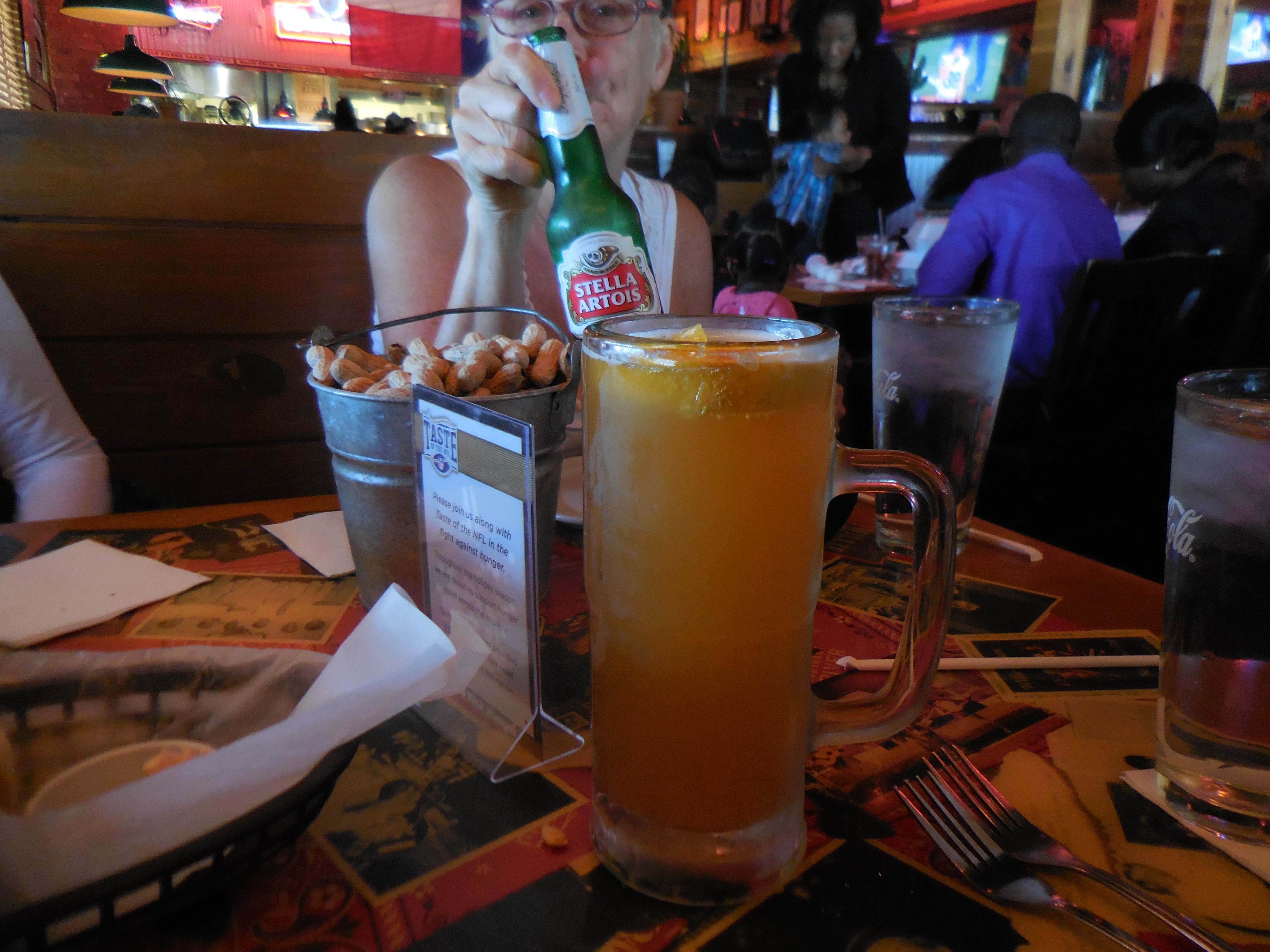
We stopped in Sierra Vista for dinner and toasted our accomplishment.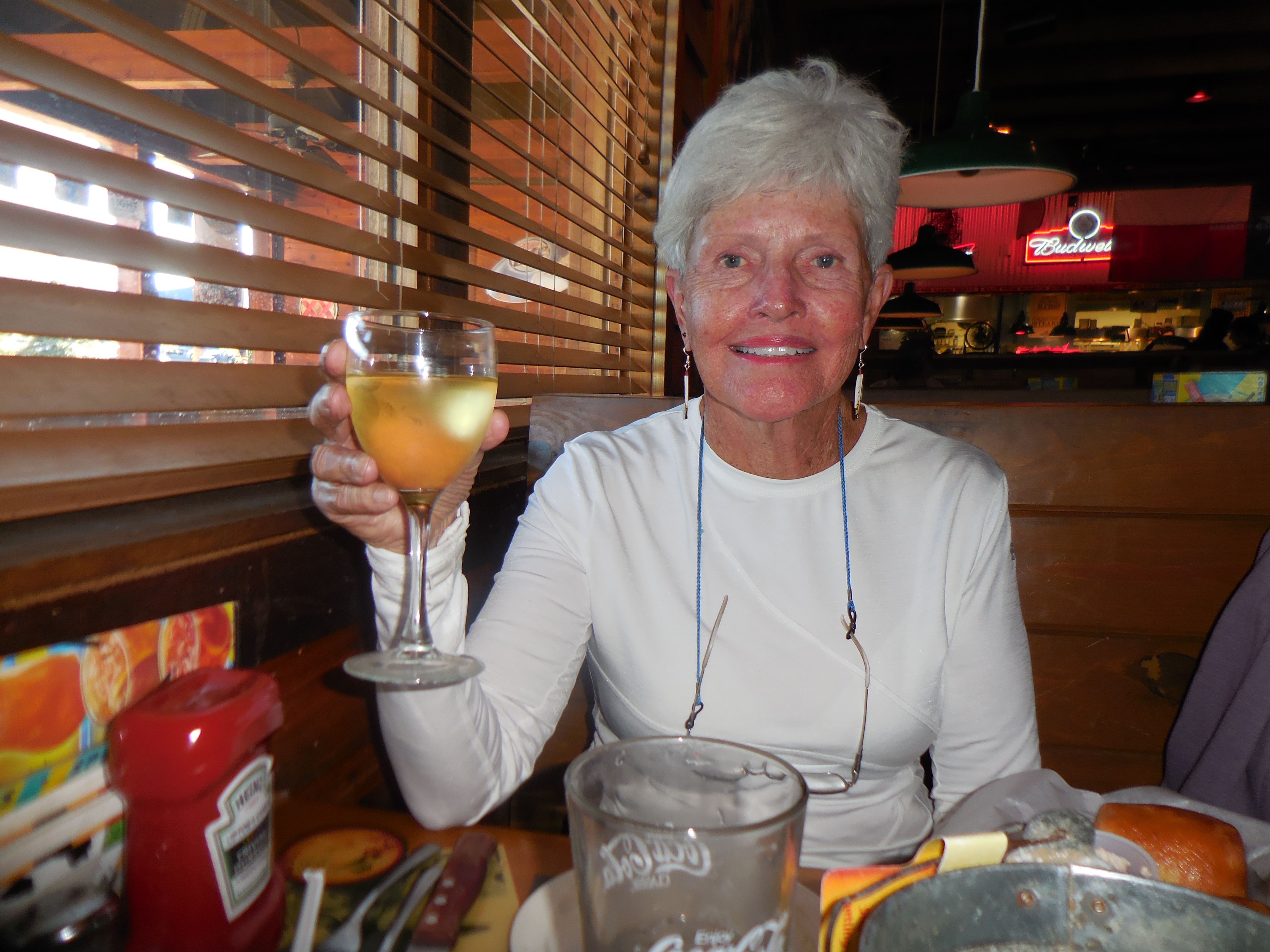
 And then the long ride on the interstate back home. As always it was a fun day on the Arizona National Scenic Trail. 🙂


Arlene, for someone who does not like to climb you are doing a great job of it. You must be extra fit these days!!
LikeLike
Angie,
I’m not sure about the fitness part, I think it is simply because I am stubborn and won’t give in. I certainly would like to be able to climb those inclines without huffing and puffing and having to rest to catch my breath. But I do manage to complete them without incident.
Arlène
LikeLike
OH, Arlene, those views … envious here, particularly since we’re having a particularly wet patch here in Sydney!!
LikeLike
Hi Britta,
Yes the views are incredible. I wish the camera could capture the expanse and depth that I see with my eyes. Sometimes I think the views are the main reason I have decided to hike the Arizona Trail – well not only that I also enjoy very much to be able to hike unknown trails to see what they have to show me.
Arlène
LikeLike